Maps
The PGC provides custom cartography services to our users and an historical and contemporary map catalog of thousands of maps.
Map Catalog
The PGC Map Catalog holds an archive of historical and contemporary polar maps.
PGC obtains libraries of paper maps, scans them at a very high resolution, and provides digital copies in many formats, most with accompanying georeferencing information.
More information and links to the application below.
Custom Maps
Custom maps can be requested through the Data + Services request page.
Please note, PGC only provides custom cartography services to its core users. See Introduction to User Services to see if you are eligible.
PGC Map Catalog
The PGC Map Catalog is a web application that allows users to search, preview, and download hundreds of historic and contemporary polar maps.
Quick Links
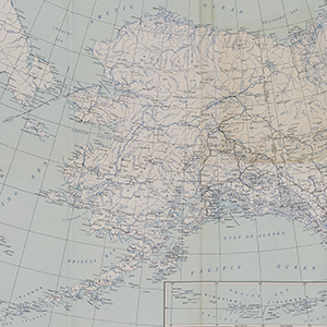
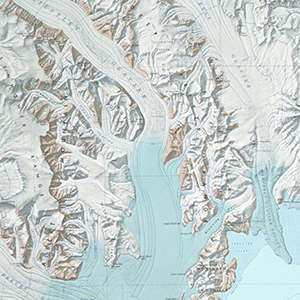
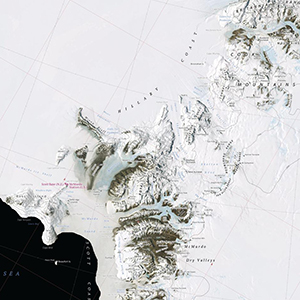
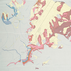
Example Maps
TOPOGRAPHIC
SATELLITE
GEOLOGIC
REFERENCE